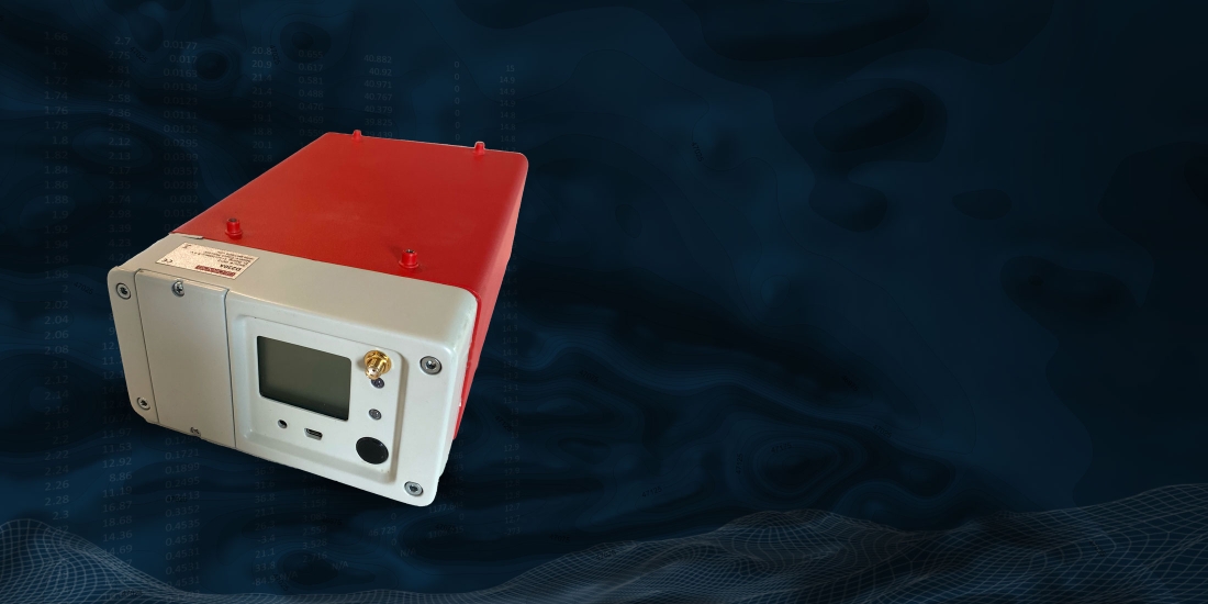
We offer cutting-edge UAV radiometrics, providing our clients with unparalleled insights into the Earth’s subsurface. Our team utilizes state-of-the-art UAVs equipped with advanced gamma-ray detectors and a streamlined data processing workflow.
We deliver accurate and high-resolution radiometric surveys tailored to meet the specific needs of each project. Whether it’s mineral exploration, environmental monitoring, or geological mapping, our UAV radiometric services offer cost-effective solutions, accessing even the most challenging terrains.
From initial data collection to comprehensive data interpretation and detailed reports, we are committed to delivering the highest level of quality and customer satisfaction. Emphasizing safety and compliance with all relevant regulations, we strive to empower industries with valuable geophysical information that drives informed decision-making and successful project outcomes.


